
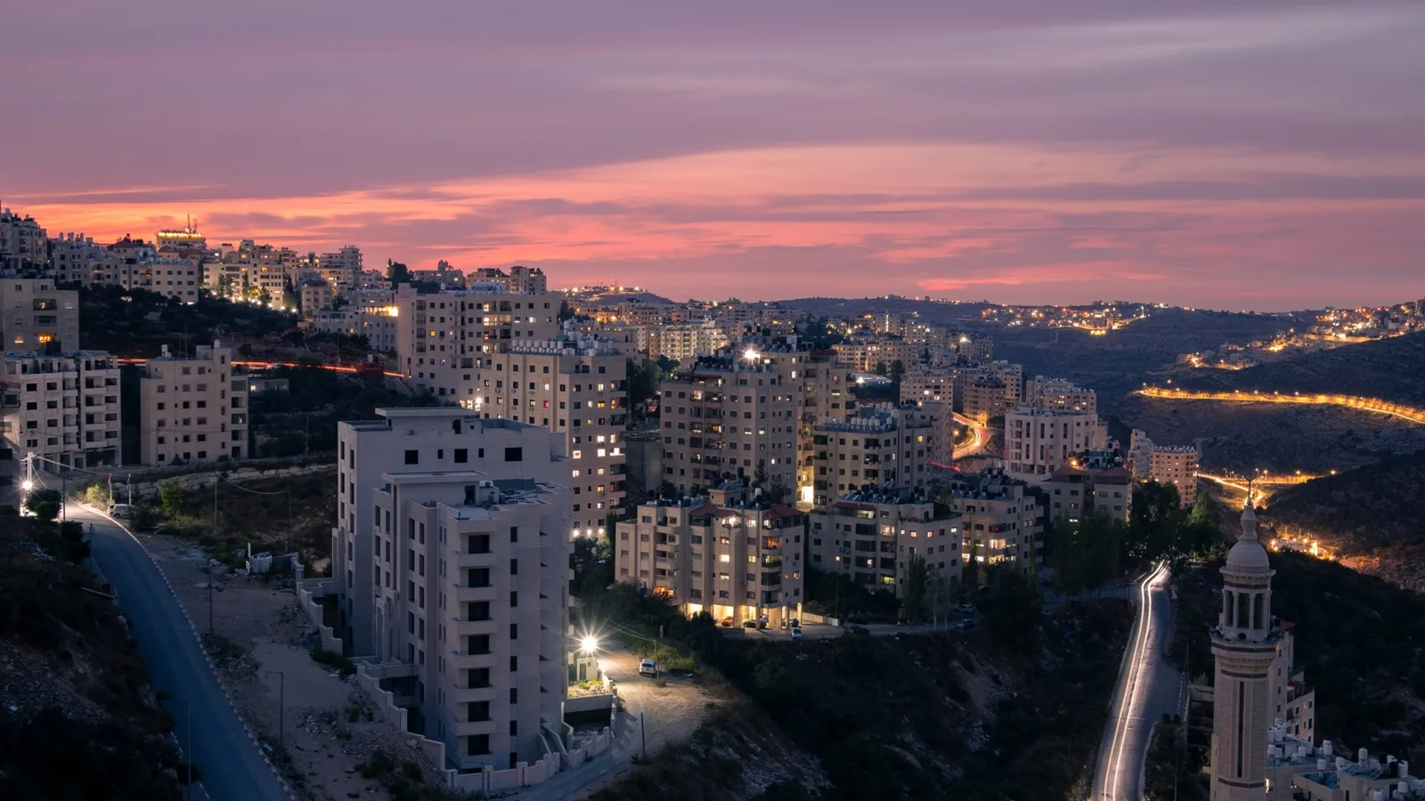
Maps of the West Bank rarely show what driving actually looks like. The roads are real and well-paved; what changes from kilometre to kilometre is jurisdiction — and with it, the insurance status of your rental car. This guide walks through the six routes our clients use most often and what to know before you set off.
The six routes our clients use most
Jerusalem → Ramallah via Qalandia
Approx. 16 km · 35–90 min depending on checkpoint queues
The most direct route from East Jerusalem to Ramallah, passing through Qalandia checkpoint. The crossing is usually open 24/7 to vehicles with appropriate plates and documents. Expect long queues during morning and late-afternoon commute hours. Once across, you are in Area A — standard Israeli rental insurance is voided. Dallah's policy remains valid throughout.
Jerusalem → Bethlehem via Checkpoint 300
Approx. 11 km · 20–60 min
Bethlehem sits inside Area A. The walk-through checkpoint at Rachel's Crossing is the most photographed, but the vehicle crossing is typically faster. Many UN, NGO, and tourism vehicles use this route daily. Plan around midday prayer hours when foot traffic peaks.
Jerusalem → Hebron via Tunnels Road (Route 60)
Approx. 32 km · 45–75 min
Route 60 south runs through the Tunnels checkpoint and then via Israeli-controlled stretches before reaching Hebron's H1 (Palestinian) and H2 (Israeli) districts. The route mixes Areas C, B, and A and is a clear example of why a single, continuous insurance policy matters.
Jerusalem → Nablus via Route 60 north
Approx. 65 km · 90–120 min
The northern leg of Route 60 winds through the central highlands. After Ramallah, the road enters mixed Area B and C terrain before reaching Nablus, deep in Area A. Reliable mobile coverage drops in places — keep printed Dallah insurance details in the glovebox.
Jerusalem → Jericho via Route 1 → Route 90
Approx. 38 km · 45 min
The fastest and easiest route. Route 1 east descends from Jerusalem through Area C and meets Route 90 in the Jordan Valley. Jericho itself is Area A. The route also serves as the access road to the Allenby/King Hussein Bridge for travel to Jordan.
Jerusalem → Allenby Bridge (Jordan crossing)
Approx. 50 km · 60–80 min
The standard route for journalists and NGO staff transiting from Jordan. The bridge crossing itself has its own commercial vehicle restrictions — a Dallah representative can advise on what can and cannot cross, and on collecting a vehicle on the West Bank side if needed.
A few things every driver should pack
- Printed copy of your Dallah insurance certificate — useful at any checkpoint.
- Passport plus any agency or press ID; some checkpoints ask for both.
- A paper map or downloaded offline map; coverage is patchy in the central highlands.
- A second spare key kept by a colleague in Jerusalem in case of vehicle issues.
- Our 24-hour roadside number saved in your phone before you cross.
Whichever route you take, our policy follows you across all three zones — no separate supplements, no exclusions for Areas A and B. If your trip is part of an organisation programme, ask us about a fleet account that covers every driver on the team.
How our cross-border policy works